
Reputation: 2435
R how to add border countries to a country spatialpolygons map
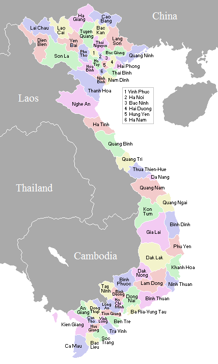
I am trying to make some colerful maps using spatialpolygons with R. I downloaded the shapefile from gadm.org website and colored the regions as I wanted following http://bl.ocks.org/prabhasp/raw/5030005/ . However, I think the map would look much better if I were able to put on the map also part of the countries Vietnam shares the border with, as in this wikipedia map
I have no clue what to start with, could someone give me a hint? Should I dowload the regional map and then join the regions for the border countries and work at the provincial level for Vietnam? Or can I plot my Vietnam map over the country level one?
Upvotes: 3
Views: 5921
Answers (1)

Reputation: 59425
If this is a one-off, I'd be inclined to do it this way.
library(raster)
library(ggplot2)
vietnam  <- getData("GADM",country="Vietnam",level=2)
china    <- getData("GADM",country="China",level=0)
laos     <- getData("GADM",country="Laos",level=0)
cambodia <- getData("GADM",country="Cambodia",level=0)
thailand <- getData("GADM",country="Thailand",level=0)

ggplot(vietnam,aes(x=long,y=lat,group=group))+
  geom_polygon(aes(fill=id),color="grey30")+
  geom_polygon(data=china,fill="grey60",color="grey80")+
  geom_polygon(data=laos,fill="grey60",color="grey80")+
  geom_polygon(data=cambodia,fill="grey60",color="grey80")+
  geom_polygon(data=thailand,fill="grey60",color="grey80")+
  coord_map(xlim=c(-1,1)+bbox(vietnam)["x",],ylim=c(-1,1)+bbox(vietnam)["y",])+
  scale_fill_discrete(guide="none")+
  theme_bw()+theme(panel.grid=element_blank())

Labelling the border countries is trickier because you have to know where to put the labels, and you can't use the country centroids because they are off the map. I'd be includes to eyeball it, and use annotate(geom="text",...).
Upvotes: 5
Related Questions
- How to calculate the length of borders between countries in R?
- How to add european countries borders to a Raster in R?
- How to draw map for specific country in r plot from a whole world raster and that specific country’s shapefile?
- Combining SpatialPolygonsDataFrame of two neighbour countries
- How to create a world map in R with specific countries filled in?
- Creating maps in R just like the way rworldmap does but for specific country with provinces
- Mapping specific States and Provinces in R
- How to add Hawaii and Alaska to spatial polygons in R?
- Adding Boundaries to Spatial Polygons Object
- How to specify countries/region while creating maps in R?