
Reputation: 43875
Creating dynamic maps on the web
My company uses a sales model of dealers, territory managers and regional managers, each with a different level of area scope (IE manage based on zips codes, states, or regions.)
I want to create a slimmed down map that is similar to this US state map that would allow our users to manipulate who manages what.
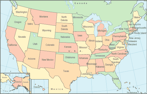
What are some good resources to start down this path?
Upvotes: 0
Views: 729
Answers (4)
Reputation: 43875
One useful tool that I've found is the following GPS Visualization.
Upvotes: 0

Reputation: 109
A combination of PostGIS for storing the data, MapServer for generating map tiles, and OpenLayers for the interface should give you something to start with. Include a some PHP libraries, and your are just about there!
Upvotes: 0

Reputation: 47944
KML and Tiger(US) or Maps and Geo(Can)? Or with something less interactive you could possibly still use the Topologically Integrated Geographic Encoding and Referencing system.
Upvotes: 1

Reputation: 13353
I'd say you could base yourself on OpenStreetMap which database is under creative commons license.
Upvotes: 1
Related Questions
- How to create a game map?
- What technology to use for an Interactive web map?
- Javascript based interactive map application
- Interactive map solution suggestions
- Converting an arbitrary drawing into an interactive map?
- Map for browser-based Games
- What language to use to create maps dynamically
- Question about web programming, maps to be specific
- Interactive world map
- Best Way to Build a Game Map