
Reputation: 121
Is there any python package available to calculate shortest distance between coordinates only via sea route?
There are online APIs available to calculate Port to Port distances, but I would like to do it at free of cost. I have tried things mentioned in other similar questions Find path by sea from coastal point A to coastal point B but it did not serve my purpose.
Reason :
- The distance calculated from left extreme of the map to right extreme of the map is not right as the earth is spherical. Example : Distance between -150,50 to 100,50 is less if it is calculated in spherical dimensions.
- The result gives only the route 'path', but unable to calculate the distance in km or miles from the path variable.
I have tried distance calculation like haversine, etc but those do not take only water routes as a consideration. The ultimate aim is to calculate port to port distance the vessel needs to travel via marine route. Not need to be very accurate like ocean beds, depth, etc need not be taken into consideration. Just the shortest distance via ocean from Port A to Port B in km or Nm is enough.
Inputs:
Start Destination :
[lat,long] End Destination :
[lat,long]
Output Expected:
Route coordinates:
[lat1,long1
lat2,long2
lat3,long3
lat4,long4
lat5,long5 ]
Distance:
xxx kms
Upvotes: 5
Views: 3182
Answers (2)

Reputation: 1470
Another new package we wrote to do exactly this is scgraph. Written by Connor Makowski (me - shameless self promotion) and the MIT Supply Chain CAVE lab team.
The benefit of this package is that it is faster than searoute (~0.05s scgraph vs ~0.5s for searoute) and requires no additional python dependencies.
It however, does not have any port information. Just a maritime network graph of common maritime routes (including nodes at ports - without port info).
pip install scgraph>=1.0.0
For your particular question:
# Use a maritime network geograph
from scgraph.geographs.marnet import marnet_geograph

# Get the shortest path between
output = marnet_geograph.get_shortest_path(
    origin_node={"latitude": 31.23,"longitude": 121.47},
    destination_node={"latitude": 32.08,"longitude": -81.09}
)

# Show your output path
print(str([[i['latitude'],i['longitude']] for i in output['coordinate_path']]))

# Show the length
print('Length: ',output['length']) #=> Length:  19596.4653
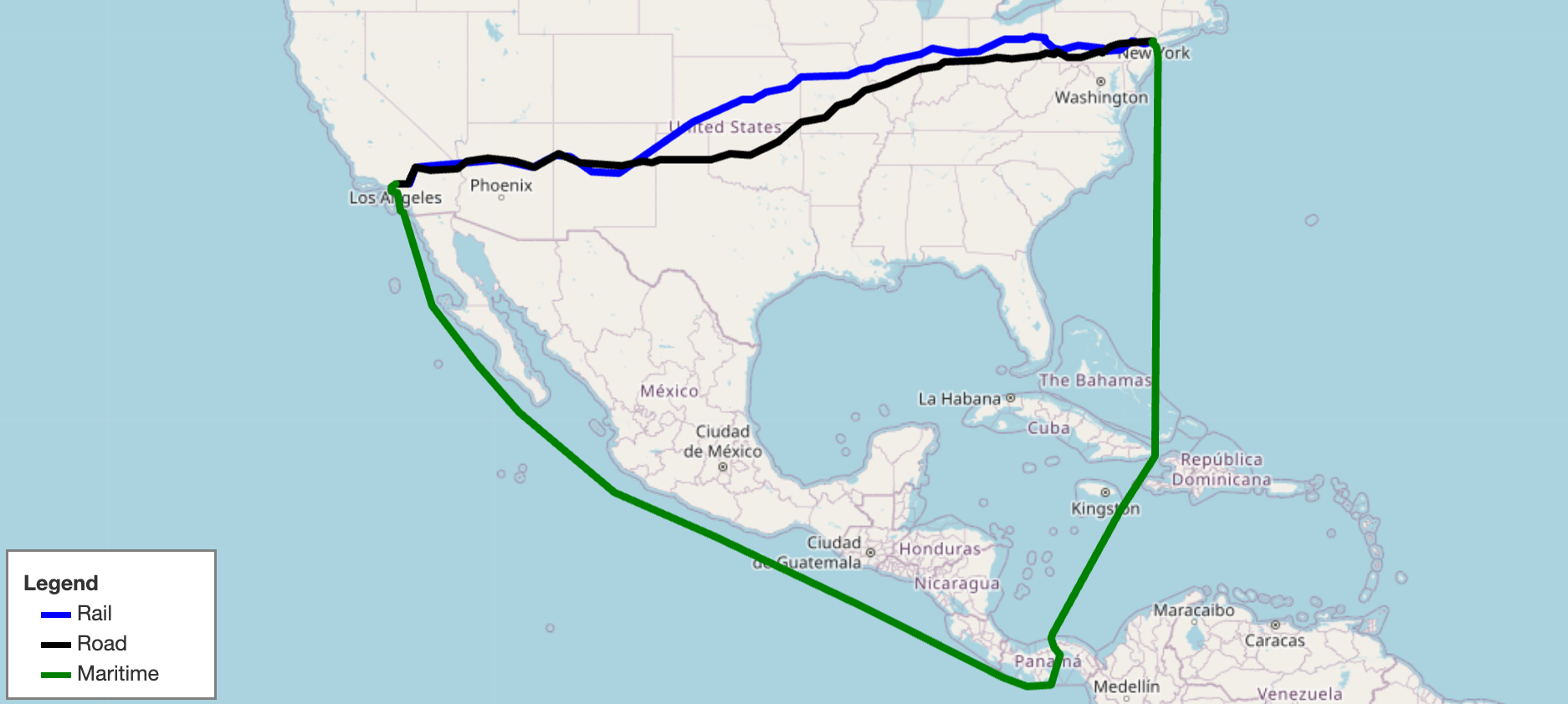
On a map the output would look like:
Upvotes: 2

Reputation: 31
I suggest you to check this package: https://pypi.org/project/searoute/
and then you can use it as below :
import searoute as sr

#Define origin and destination points [long, lat]:
origin = [0.3515625, 50.064191736659104]
destination = [117.42187500000001, 39.36827914916014]

# > Returns a GeoJSON LineString Feature
route = sr.searoute(origin, destination)
print("{:.1f} {}".format(route.properties['length'], route.properties['units']))
Upvotes: 3
Related Questions
- Getting distance between two points based on latitude/longitude
- Find path by sea from coastal point A to coastal point B
- Distance between two places based on longitude and latitude
- Calculate distance to shore or coastline for a vessel
- Distance from ships to coastline in nautical miles
- Return minimum distance between sets of longitude/latitude coordinates
- How to calculate minimum distance using lat-lon data in python
- Minimize distance between two latitude-longitude points?
- How to find Shortest distance of a location from a route (Python),
- Distance by sea calculator, intermediate coordinates?